Chicago Area Map Illustrations
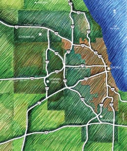
Aerial Perspective Illustration, Digital Illustration, Map Illustration, Pencil DrawingI’ve done so many map illustrations in my career, I’ve lost count. Many of them are of the Chicago area. The one on the left I did in 1995 of the Chicago area, featuring all the main Interstate highways, Lake Michigan, the outline of Chicago and border counties. It was done in color pencil, probably on 100% rag drawing vellum. I just found it looking through archives on my hard drive.
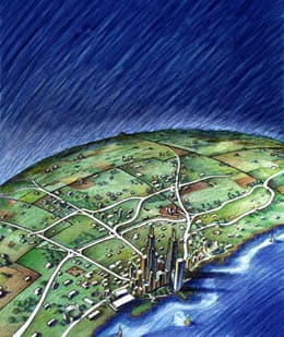
The other one is an aerial map done in the same color pencil style. I did it for myself initially, then Rand McNally found it on my BIRKEY.COM portfolio website, and used it on the cover of their Chicago Streetfinder Map edition. The University of Chicago also found it on my portfolio site and used it for an event poster.


