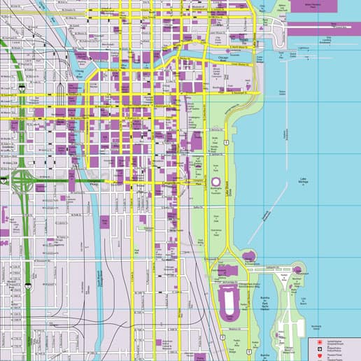
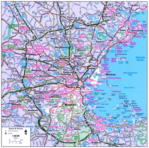
Rand McNally CityFlash Maps
Digital Illustration, Map Illustration, Product Illustration, Vector IllustrationOBJECTIVE
As the recognized premier global map company, Rand McNally was exploring the possible transition from traditional cartography techniques to digital map production in the late 1980s. A new map product line called “CityFlash” maps was their first test case map product line, in partnership with Hallwag in Germany, to be produced entirely on desktop computers using commercial illustration software.
SOLUTION
Randal Birkey was contracted to produce 5 CityFlash maps using Adobe Illustrator on Apple Macintosh computers. The cities included:
- Chicago
- Washington DC
- San Francisco
- New York
- Boston
Rand McNally provided reference maps which were used for content and as base maps. Randal developed the color palettes, line weights, cartographic symbols, styles, and standards based on the existing Hallwag European CityFlash maps. The resulting Postscript™ map files were delivered to Rand McNally and used for four-color direct output to high-resolution film, and printing plates, then used in 4-color offset printing of the final map products. Within the following years, Rand McNally converted their map design & production process to 100% digital.


