Aerial Map of Charleston, S.C.
Aerial Perspective Illustration, Digital IllustrationThis aerial perspective map of Charleston, S.C. was done for educational textbook use. It demonstrates how the town looked and developed earlier in its history. The art was done in Corel (Fractal) Painter software, with a line art layer, and a watercolor art layer below, as shown below.


Charleston, S.C. – Watercolor layer only
Charleston, S.C. – Aerial View Map – Line art and watercolor layers combined
Charleston, S.C. – Line Art layer only
Charleston, S.C. – Watercolor layer only
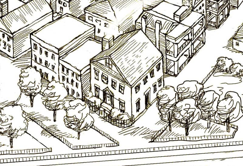
Charleston, S.C. – Detail Area