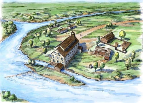
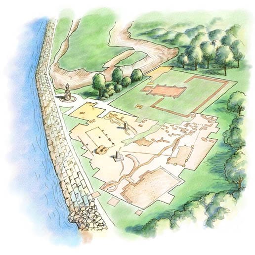
Historic Jamestowne Aerial Perspective
Randal Birkey created this aerial perspective of the archaeological site at Jamestowne, Virginia, located in the Colonial Historic National Park. The image was used in a textbook for children studying this first English settlement in the New World. Read more about it...
Greektown Development Aerial Perspective
During the 1980’s when I was doing a lot of freelance architectural rendering and illustration work, I was asked by Roula Architects, Chicago, Illinois, to do a rendering of a proposed redesign of an entire city block in the Greektown area of Chicago. Working from the...
Wheaton College Campus Map Aerial View
Randal did his first map for Wheaton College through Rich Nickel Design in the early 1980’s. Also contributing to the project as a writer was Amy Wolgemuth. This original art was done by hand at 20 x 30 inches in size on hot press illustration board. The line...